Entry tags:
February challenge: week 1 results
 Apologies for the lateness of this post; I was having way too much fun finding cool stuff for it! Anyway, I have totaled up our mileage for the first week of February (except for
 Well, as most of you know, I live in Colorado. The Continental Divide goes through Colorado, as does the Continental Divide Trail, which more or less tracks the divide – in fact, it passes about 60 miles to the east of where I live. So I thought maybe we'd follow the CDT from south to north and see how far we get!
The nearly 173 miles we've run has taken us from Cumbres Pass near the New Mexico border through the San Juan National Forest and into the Rio Grande National Forest.
At mile 64.4 we crossed the highway at Wolf Creek Pass (since that song was written in 1974, the road has been widened considerably!) and entered the Weminuche Wilderness, the largest wilderness in the state.
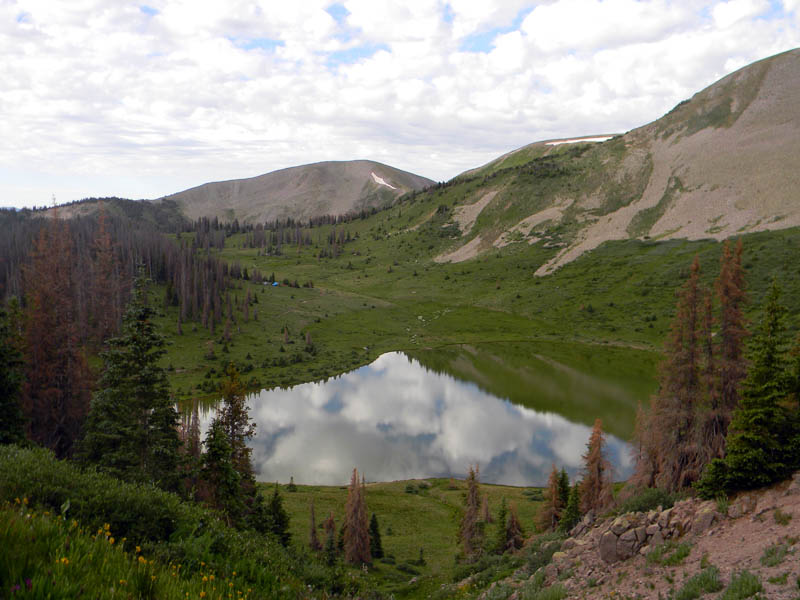
At mile 81.6 we came to Archuleta Lake, which is a good base camp for using some of our active hours to climb Mount Hope, at 12,775 ft. is the 747th highest peak in Colorado. Twelve miles later, we came to 12,326 ft Piedra Peak, and hey, might as well climb that one, too!
Around mile 107 we traversed the "infamous" Knife Edge: here is a photo and here is a video.
We crossed Squaw Pass at mile 114.6 and at 126.7 crossed the Pine River (it's Los Pinos on the map, but everyone calls it the Pine around here), and now we're in my home territory. There's no bridge at this crossing, but it's far enough upstream that it's an easy wade, or if you're confident enough you can make it across by stepping stones, like my husband is doing here. (I'm behind him and just to his left.) On the other side of the river, we entered the canyon called Rincon La Vaca. Unfortunately the trail needs some maintenance here, or it did in 2012, anyway.
There's a nice view of the Spanish Window, also called La Ventana (which is Spanish for "window", duh) and the Rio Grande Pyramid from the trail:

Might as well use our active hours to take a side trip at mile 131 to climb up to the Window and to the summit of the Pyramid. This is the biggest mountain we've hit so far, at 13,827 feet; it's the 97th highest mountain in the state, shaped exactly like its name implies, and has an amazing view.


Don't forget to sign the summit register, in the white canister behind me!
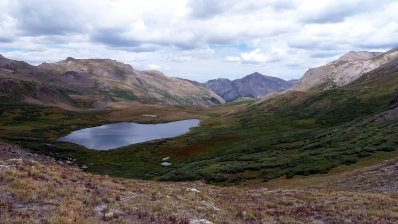
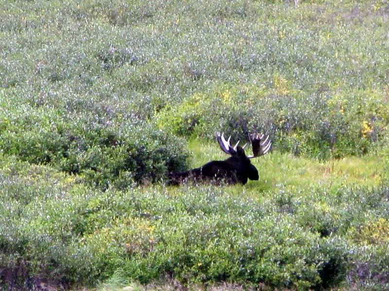
We headed down over Gunsight Pass to Ute Lake. At mile 146.5 we crossed Hunchback Pass. Our 172.9 miles brought us exactly to Cataract Lake where we will camp for the night. If we are lucky we might see some wildlife, like this moose!
Here's our personal progress, distancewise:
frayadjacent - 20.00%
silveraspen - 0.00%
semielliptical - 28.33%
ilanarama - 16.08%
meri_oddities - 30.00%
alexseanchai - 8.00%
raininshadows - 25.00%
franzi1981 - 0.00%
temve - 25.63%
ell - 26.92%
liv - 0.00%
linaelyn - 25.00%
skuf - 32.80%
Here's our progress on the map:

no subject
no subject